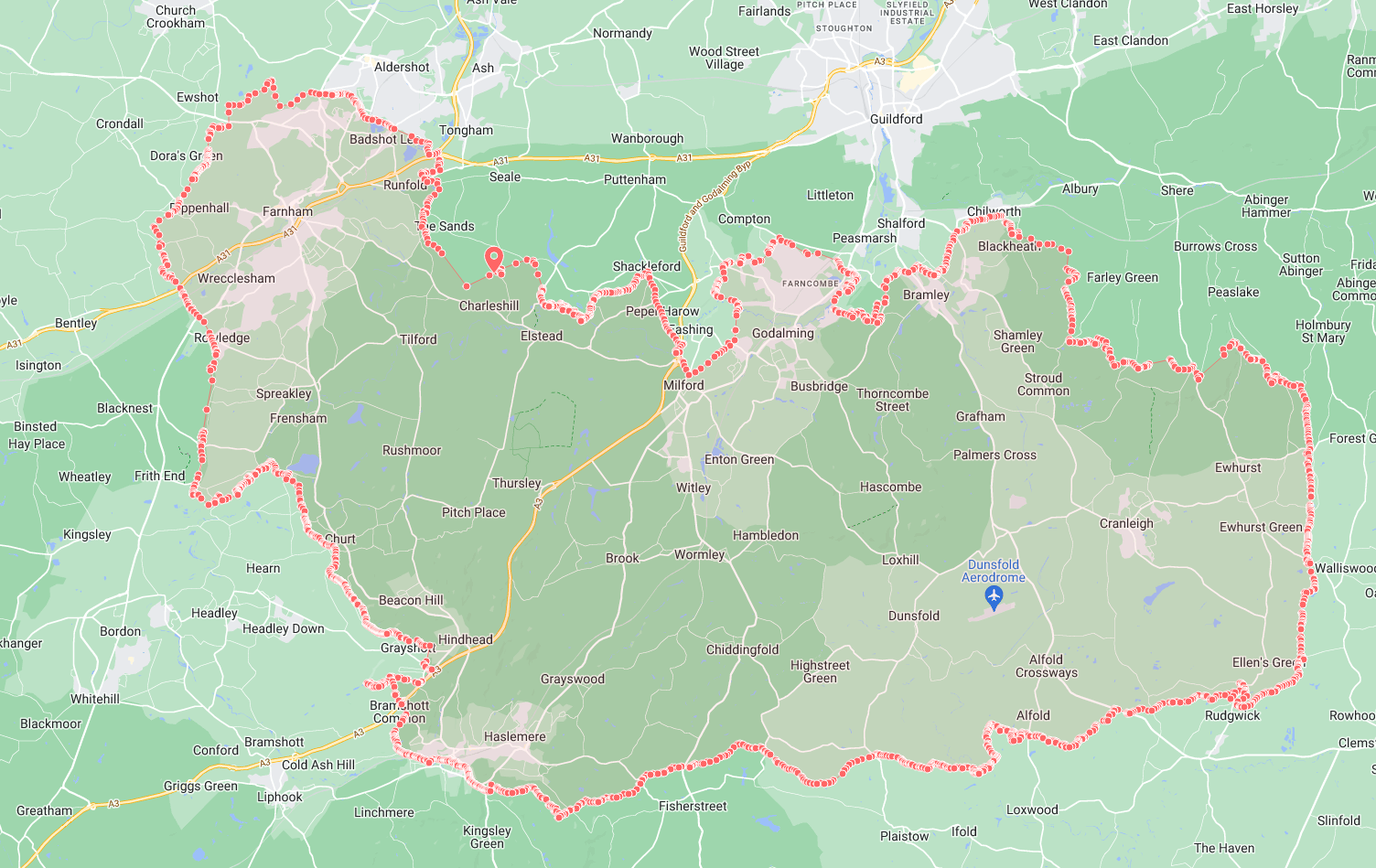
We are starting to investigate the use of our GIS asset data in our forms. I have imported our authority boundary to use as a constraint layer. Whilst I can change the line colour and fill, I don’t seem to be able to change the way that the nodes are displayed. As you can see from the attachment, they really need to be hidden or at least made the same width as the line.
Hi. This has also previoulsy been raised in our Ideas Portal, and the ability to hide markers will be coming in the next Create release (v2022.3):
https://ideas.netcall.com/i/ideas/p/feature/vote/idea/view?context_record_id=7223
2 Likes
Thanks Bob. That’s good to know.
1 Like